Zala Wine Feast – Keszthely Wine Festival
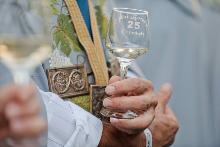
Keszthelyen évről évre megrendezik a szüreti felvonulást is a Zalai Borcégér – Keszthelyi Borünnep keretén belül.
Keszthelyen évről évre megrendezik a szüreti felvonulást is a Zalai Borcégér – Keszthelyi Borünnep keretén belül.